
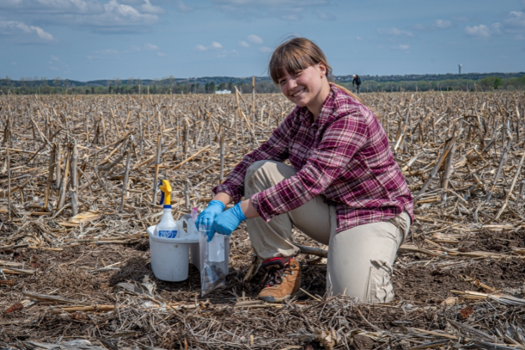
U.S. farms manage 880 million acres of land, making soil health a critical foundation for agricultural productivity and sustainability. From digital soil maps and interactive visualization tools to AI-driven models, land-grant university researchers are harnessing technology and data to better understand soils, improve decision-making, and support more sustainable agricultural systems across the country.
Featured photo courtesy of Dan Donnert/Kansas State University.
Improving the sustainability of soil and water resources through modeling and visualization
Purdue University Research | Program supported by Hatch capacity funds.
Purdue University researchers are harnessing remote sensing, advanced hydrologic models, and interactive visualization tools to help farmers and land managers make more informed decisions about soil and water resources. By integrating spatial soil data, UAV imagery, and drainage system modeling, the project has improved understanding of water movement and nutrient loss across the Midwest while delivering practical digital tools like the Soil Explorer app to more than 36,000 users.
New Soilscape web platform offers user-friendly resource for practical soils information
Iowa Agriculture and Home Economics Experiment Station | Program supported by Hatch and Hatch multistate capacity funds.
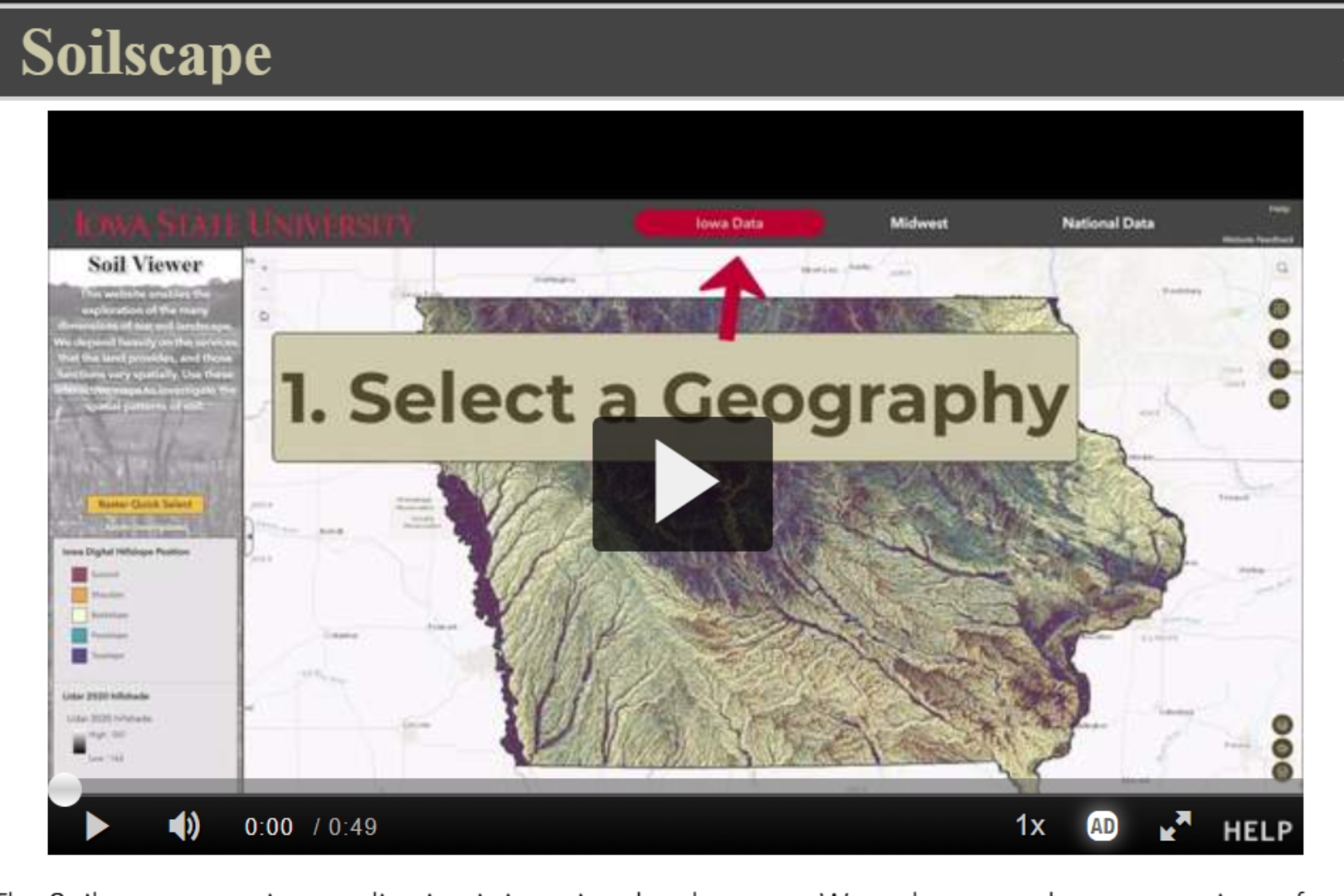
Iowa State University researchers have developed Soilscape, an interactive web platform that transforms decades of soil survey data into accessible maps and visualizations for farmers, land managers, researchers, and the public. By combining detailed soil information with easy-to-use digital tools, Soilscape helps users explore local soil characteristics, assess land suitability, and make more informed decisions about agriculture, conservation, construction, and other land-use practices.
Advancing earth system modeling through a Soils AI Campaign: spatially explicit pedotransfer functions from the Midwest Collaborative Resilience Center
Central State University – Research | Program supported by Evans-Allen capacity funds and non-profit grants & contracts.

Central State University researchers are using artificial intelligence and molecular-scale soil data to create more accurate, spatially explicit models of soil properties across diverse landscapes. By integrating AI with the Molecular Observational Network (MONet), the project is strengthening earth system models that support agricultural sustainability and natural resource management, while helping decision-makers better account for the variability of soils in environmental planning.
More From: 1890s, Central State University, Indiana, Iowa, Iowa State University, North Central Region, Ohio, Purdue University
Share this Post